


FR
![]()
|  |

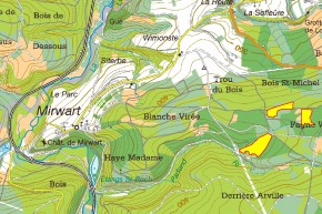
Localisation du site
Localisation de la Fange de Wiaupont (Saint-Hubert) |
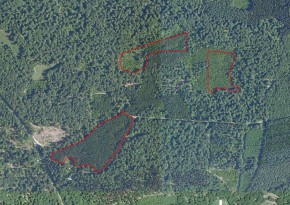
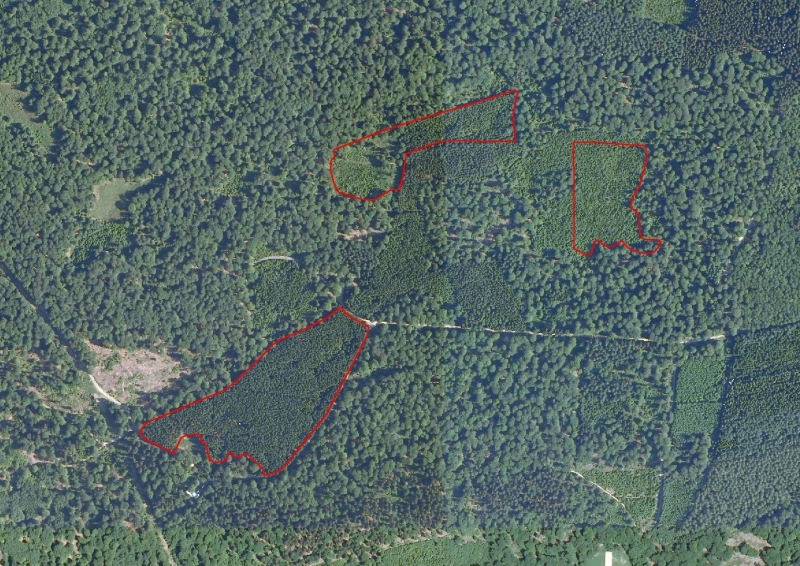
Vue aérienne du SGIB en début de projet (orthophoto de 2007). |
 Zoom sur la carte
Informations descriptives et biologiques
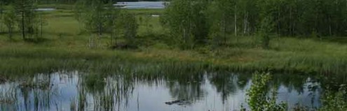
La Fange de Wiaupont est située à la source du petit ruisseau forestier du Parfond Ri. La partie aval de sa vallée constitue un site de grand intérêt biologique. Voir la fiche SGIB 1778
Actualité illustrée du site
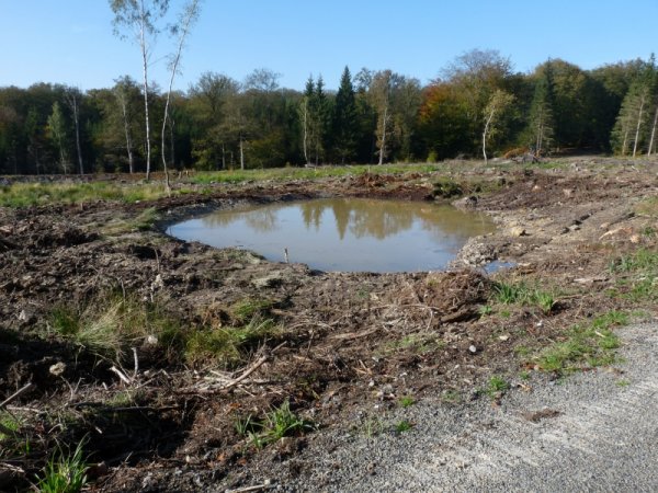
Octobre 2012 - Le site a bénéficié d'importants travaux de restauration hydrique, avec la création de deux grandes digues minérales, cinq mares et une bonne cinquantaine de mardelles (micro-mares). |
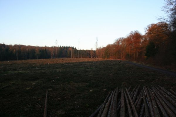
Novembre 2011 - L'exploitation des résineux est terminée sur la parcelle attenante au pavillon du domaine provincial . |
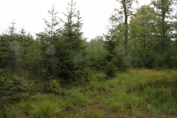
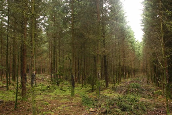
Septembre 2011 - Jeunes épicéas sur sols hydromophes. |
Septembre 2011 - Plantation d'épicéas sur sols hydromophes drainés. |
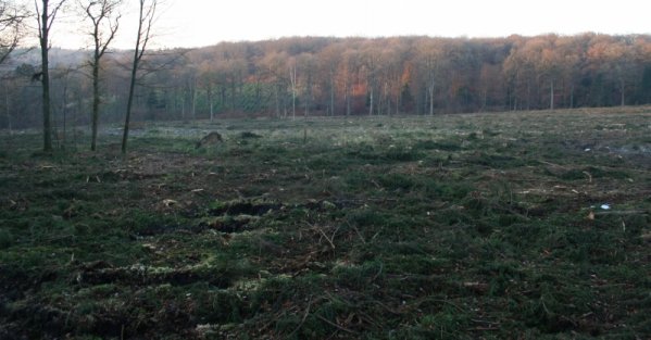
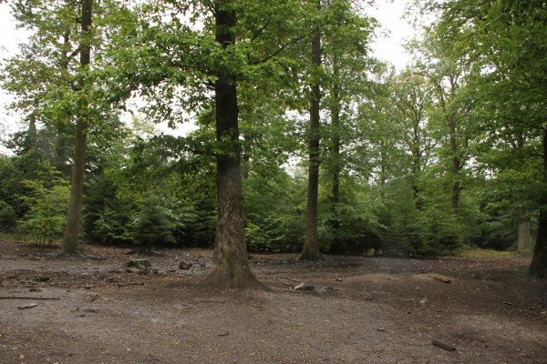
Septembre 2011 - Hêtraie située entre les zones enrésinées de la fange. La présence d'un soignage entraîne un labour généralisé du sol par les sangliers. |
EN
![]()
| |
Location of the site
Location of the Fange de Wiaupont (Saint-Hubert) |
Aerial view from the SGIB at the beginning of the project (orthophoto from 2007). |
Descriptive and biological information
The Fange de Wiaupont is located at the source of the small forest brook of the Parfond Ri. The part downstream of the valley constitutes a site of major biological interest. See file SGIB 1778
Current situation of the site
October 2012 – The site has benefited from some major aquatic restoration works with the creation of two large mineral dykes, five pools and a good fifty or so mardelles (micro-pools) |
November 2011 – Logging of the resinous trees is completed on the adjoining plot of land to the provincial domain's pavilion . |
September 2011 – Young spruces on hydromorphic soils. |
September 2011 - Plantation of spruces on drained hydromorphic soilseptembre 2011. |
September 2011 – Beech grove situated between the areas stripped of resinous trees in the mire. The presence of a feeding station causes the land to be generally ploughed by the wild boars. |