FR
EN
![]()
|  |
Pont-de-Libin (Hatrival)
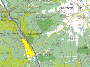
Location of the site
Location of the Pont-de-Libin |
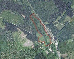
Aerial view of the site at the beginning of the project (orthophoto from 2007) . Zoom on the map (JPG-549 ko) |
Descriptive and biological information
This site is not yet included in the SGIB database
Aerial views
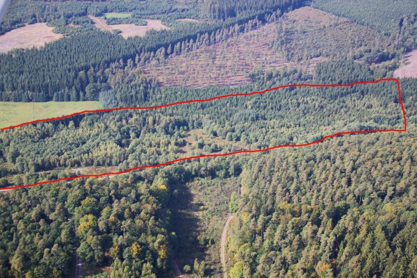
September 2010 – view looking westward |
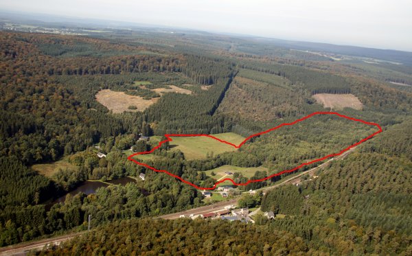
September 2010 – view of the site looking north-west and of the hamlet Hatrival-gare |
Current situation of the site
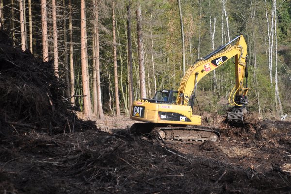
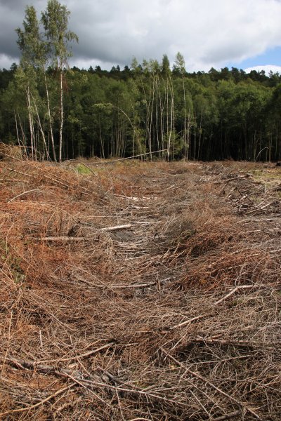
October 2011 – The residues from the clearcutting of spruces are swathed (left in piles) and are removed from the site so as to have their value appraised in the wood-energy sector. These branches will be processed into pellets or used at a cogeneration plant (simultaneous production of electricity and heat). |
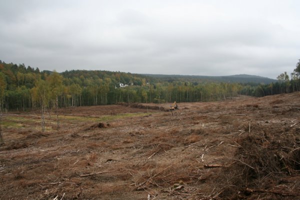
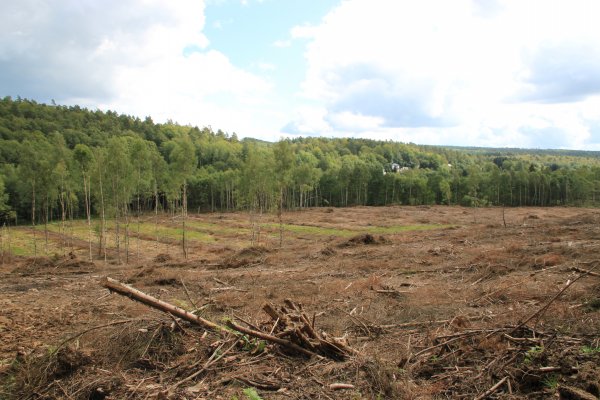
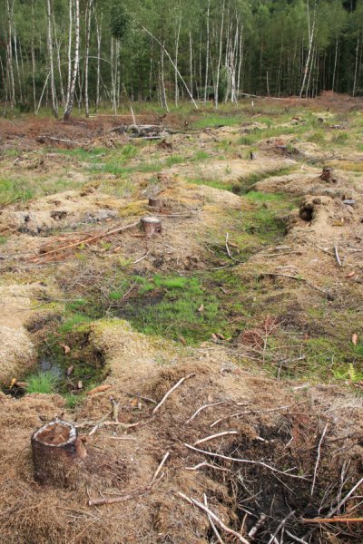
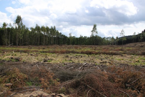
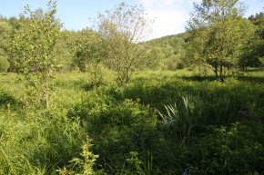
July 2011 – Views of the site after removal of the resinous trees. The section concerned by the clearing activity covers over 700 metres along the Lomme. The riparian buffer, essentially made up of alders and birches, has been preserved. The same goes for a number of clusters of birches scattered throughout the valley. Prior to logging of the spruce logs, the branches were cut and arranged into beds. During logging, the machines move over these beds thus reducing the pressure exerted on the soil. The technique is effective: the damage (ruts, soil compaction) is practically non-existent |
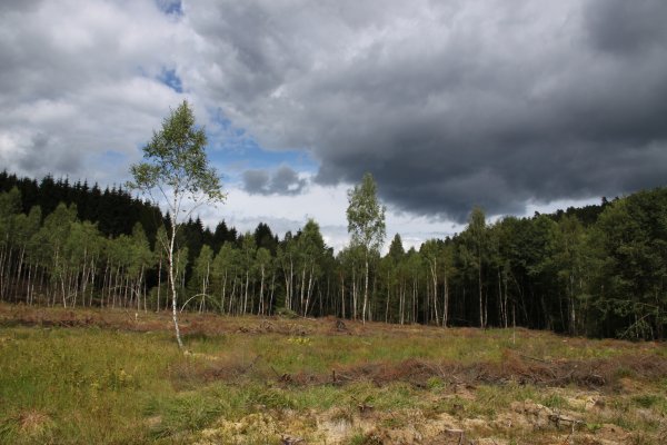
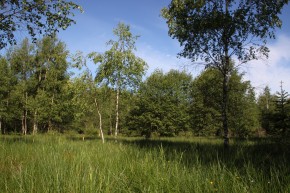
June 2011 – Right bank of the Pont-de-Libin, occupied by an area of marshy meadow undergoing recolonisation by birches and willows |
|

