FR
EN
![]()
|  |
SGIB of theTroufferies de Libin and bordering areaas
Location of the site
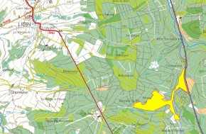
Location of the SGIB 65 - Troufferies de Libin |
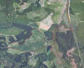
Aerial view of the SGIB at the beginning of the project (orthophoto from 2007) . Zoom on the map (JPG-392 ko) |
Descriptive and biological information
See file SGIB 65
Aerial views
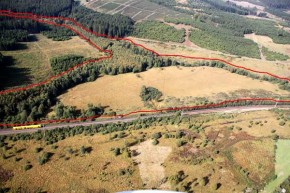
September 2010 - the "billhook" in the east Troufferies before the works |
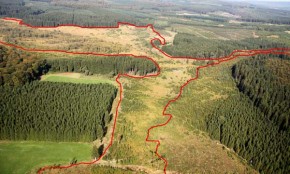
September 2010 – View from the RND centred on the Ruisseau of the Noire Eau |
Current situation of the site
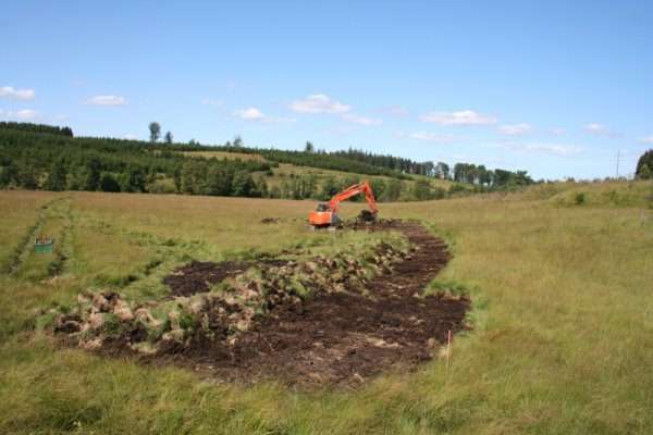
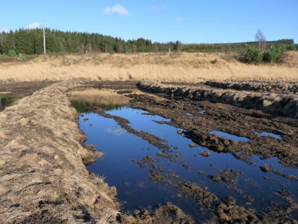
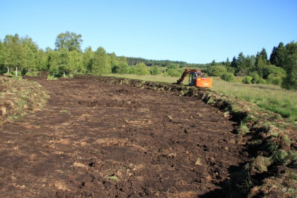
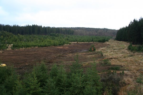
Autumn 2012 – Turf stripping of a third zone, in a place known as Contranhez (enclave between le Serpont and the railway). The particular feature of this area is that it is no longer able to benefit from the water intake from the water catchment. In fact the railway infrastructure situated upstream of the turf stripped area diverts the run-off water towards the river. The only water source for the artificial flooding of the turf stripped areas and therefore resulting from rainfall. |
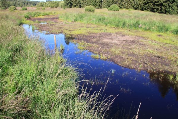
Autumn 2012 – A small area stripped of turf in spring 2012 is already showing an interesting range of plant species. |
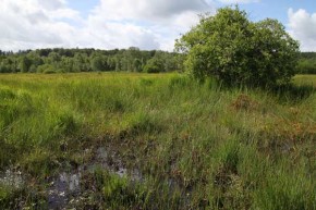
August 2012 – Turf stripping of an area of wetland that has been degraded by Molinia (Molinia caerulea) |
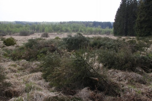
December 2011 – Resinous tree rotary slashing site is operational along the Noire Eau (left bank – municipal property of Libin). The volunteer spruces occupy the whole of the river basin of this small brook. The right bank belongs to the municipality of Libramont- Chevigny, which has also made the decision to restore the ecological interest of the site by clearing spruces over a strip of 30m starting at the riverbank. |
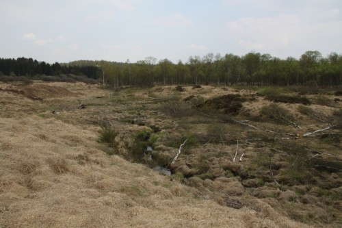
April 2011 – The nature reserve has a very special historical and cultural heritage: the gold-prospecting buttes. These are small mounds found on river banks which date back to the Celtic period. The gold was found in the river deposits. When the gold specks were removed, the sediment that had been inspected was piled up next to the river. From a biological point of view, the buttes are interesting in that they create micro-relief in the landscape and therefore create particular climatic conditions. A range of species delight in warming themselves up on the southern slope of the knoll. The buttes were being recolonised by birches. A small section of the river has therefore been cleared of birches to try to bring light to the buttes. |
April 2011 – The whole of the nature reserve is explored, cleared and logged by hand. All of the natural regeneration spruces are systematically felled. The Department for Nature and Forests, overseeing the management of the reserve, has been limiting the expansion of the young spruces for several years. Their density was therefore weak but it is still necessary to visit the site repeatedly given the proximity of neighbouring spruce populations, which spread easily towards the reserve. |
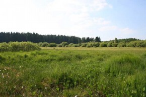
June 2010 - View from the Southern slope of the RND before the works |
July 2010 - View from the Southern slope of the RND before the works |

